Description
Auctioneer's text, in Portuguese.
FAZENDA CÓRREGO DO MANDA SAI EM ITUIUTABA/MG 100% DO IMÓVEL RURAL DA MATRÍCULA 62.464 DO SEGUNDO CARTÓRIO DE REGISTRO DE IMÓVEIS DE ITUIUTABA/MG:- ¿ IMÓVEL RURAL DENOMINADO FAZENDA CÓRREGO DO MANDA SAIA / GLEBA 01, SITUADO NA REGIÃO DA ANTIGA FAZENDA SÃO JERÔNIMO GRANDE, NO DISTRITO E MUNICÍPIO DE GURINHATÃ, DESTA COMARCA DE ITUIUTABA-MG, CONTENDO A ÁREA DE 45-49-06HAS., EM TERRAS DE CULTURAS, CERRADOS E CAMPOS, DIVIDIDO E DEMARCADO, CUJO PERÍMETRO CONTORNA AS COORDENADAS DOS VÉRTICES DEFINIDOS DOS LIMITES, GEORREFERENCIADAS AO SISTEMA GEODÉSICO BRASILEIRO, ASSIM SE DESCREVE: ¿INICIA-SE A DESCRIÇÃO DESTE PERÍMETRO NO VÉRTICE BGQ-M-1195, DE COORDENADAS LONGITUDE -49°56'24.778", LATITUDE -18°56'48.676" E ALTITUDE: 481,18 M); DESTE, SEGUE CONFRONTANDO COM **CNS: 05.801-6 | MAT.: 30356 | CLEIDE MORAES SOUZA E OUTROS, COM OS SEGUINTES AZIMUTES E DISTÂNCIAS: 147°38' E 113,50 M ATÉ O VÉRTICE BGQ-M-1194 (LONGITUDE: -49°56'22.702", LATITUDE: -18°56'51.794" E ALTITUDE: 474,77 M); 147°38' E 44,23 M ATÉ O VÉRTICE BGQ-V-0117 (LONGITUDE: -49°56'21.893", LATITUDE: -18°56'53.099" E ALTITUDE: 474,96 M); 38°00' E 15,96 M ATÉ O VÉRTICE BGQ-M-1193 (LONGITUDE -49°56'21.557", LATITUDE: -18°56'52.600" E ALTITUDE: 474,88 M); DESTE, SEGUE CONFRONTANDO COM CNS: 05.801-6 | MAT.: 57697 | OGUENASSRTIO VESLY BORGES E OUTROS, COM OS SEGUINTES AZIMUTES E DISTÂNCIAS: 145°54' E 46,67 M ATÉ O VÉRTICE UGX-M-5602 (LONGITUDE: -49°56'20.653", LATITUDE: -18°56'53.857" E ALTITUDE: 475,15 M); 208°14' E 863,81 M ATÉ O VÉRTICE UGX-M-5603 (LONGITUDE: -49°55'52.624", LATITUDE: -18°57'02.651" E ALTITUDE: 470,04 M); 199°41' E 100,77 M ATÉ O VÉRTICE UGX-M-5604 (LONGITUDE: -49°55'53.786", LATITUDE: -18°57'05.736" E ALTITUDE: 470,04 M); 199°41' E 28,22 M ATÉ O VÉRTICE UGX-V-3297 (LONGITUDE: -49°55'54.111", LATITUDE: -18°57'06.600" E ALTITUDE: 466,91 M); DESTE, SEGUE CONFRONTANDO COM CNS: 05.801-6 | MAT. 4470 | SINÉSIO FERNANDES PEREIRA*, COM OS SEGUINTES AZIMUTES E DISTÂNCIAS: 289°23' E 21,59 M ATÉ O VÉRTICE AP2-P-A206, (LONGITUDE: -49°55'54.800", LATITUDE: -18°57'06.367" E ALTITUDE: 466,751 M); 258°22' E 1,49 M ATÉ O VÉRTICE AP2-M-5144, (LONGITUDE: -49°55'56,197", LATITUDE: -18°57'06,643" E ALTITUDE: 468,845 M); DESTE, SEGUE CONFRONTANDO COM CNS: 05.801-6 | MAT. 58022 | OGUENASSÍFRIO VESLY BORGES (GLEBA 02), COM OS SEGUINTES AZIMUTES E DISTÂNCIAS: 243°41' E 53,83 M ATÉ O VÉRTICE AP2-P-E058, (LONGITUDE: -49°55'57,846", LATITUDE: -18°57'07,174" E ALTITUDE: 465,38 M); 299°55' E 11,00 M ATÉ O VÉRTICE AP2-P-E059, (LONGITUDE: -49°55'57,983", LATITUDE: -18°57'07,780" E ALTITUDE: 465,52 M); 271°08' E 58,41 M ATÉ O VÉRTICE AP2-P-E060, (LONGITUDE: -49°55'59,972", LATITUDE: -18°57'07,801" E ALTITUDE: 465,89 M); 239°00' E 5,88 M ATÉ O VÉRTICE AP2-P-E061, (LONGITUDE: -49°56'00,156", LATITUDE: -18°57'08,096" E ALTITUDE: 465,06 M); 251°11' E 39,38 M ATÉ O VÉRTICE AP2-P-E062, (LONGITUDE: -49°56'01,439", LATITUDE: -18°57'08,503" E ALTITUDE: 467,61 M); 214°01' E 9,76 M ATÉ O VÉRTICE AP2-P-E063, (LONGITUDE: -49°56'01,624", LATITUDE: -18°57'08,767" E ALTITUDE: 465,60 M); 264°58' E 46,73 M ATÉ O VÉRTICE AP2-P-E064, (LONGITUDE: -49°56'03,301", LATITUDE: -18°57'08,900" E ALTITUDE: 464,92 M); 272°45' E 29,47 M ATÉ O VÉRTICE AP2-P-E065, (LONGITUDE: -49°56'04,221", LATITUDE: -18°57'08,854" E ALTITUDE: 464,64 M); 319°05' E 42,81 M ATÉ O VÉRTICE AP2-P-E066, (LONGITUDE: -49°56'05,718", LATITUDE: -18°57'08,301" E ALTITUDE: 463,24 M); 293°06' E 15,22 M ATÉ O VÉRTICE **AP2-P-E067*, (LONGITUDE: -49°56'05,598", LATITUDE: -18°57'08,093" E ALTITUDE: 463,60 M); 279°32' E 20,80 M ATÉ O VÉRTICE AP2-P-E068, (LONGITUDE: -49°56¿06,299¿, LATITUDE: -18°57¿07,981¿ E ALTITUDE: 466,33M); 235°33¿ E 19,90 M ATÉ O VÉRTICE AP2-P-E069, (LONGITUDE: -49°56¿06,860¿, LATITUDE: -18°57'08,347" E ALTITUDE: 465,75 M); 270°57' E 23,76 M ATÉ O VÉRTICE AP2-P-E070 , (LONGITUDE: -49°56'01,672", LATITUDE: -18°57'08,334" E ALTITUDE: 465,50 M); 253°21' E 53,54 M ATÉ O VÉRTICE AP2-P-E071 , (LONGITUDE: -49°56'00,426", LATITUDE: -18°57'08,333" E ALTITUDE: 462,75 M); 257°04' E 72,46 M ATÉ O VÉRTICE AP2-P-E072 , (LONGITUDE: -49°55'59,840", LATITUDE: -18°57'09,360" E ALTITUDE: 463,40 M); 317°45' E 7,31 M ATÉ O VÉRTICE AP2-P-E073 , (LONGITUDE: -49°56'11,804", LATITUDE: -18°57'09,184" E ALTITUDE: 462,29 M); 345°16' E 12,80 M ATÉ O VÉRTICE AP2-P-E074 , (LONGITUDE: -49°56'12,118", LATITUDE: -18°57'08,781" E ALTITUDE: 464,02 M); 269°06' E 18,04 M ATÉ O VÉRTICE AP2-P-E075 , (LONGITUDE: -49°56'11,571", LATITUDE: -18°57'08,510" E ALTITUDE: 461,45 M); 259°25' E 23,28 M ATÉ O VÉRTICE AP2-P-E076 , (LONGITUDE: -49°56'11,925", LATITUDE: -18°57'07,832" E ALTITUDE: 462,27 M); 275°56' E 23,47 M ATÉ O VÉRTICE AP2-P-E077 , (LONGITUDE: -49°56'12,723", LATITUDE: -18°57'07,753" E ALTITUDE: 464,38 M); 330°13' E 7,38 M ATÉ O VÉRTICE AP2-P-E078 , (LONGITUDE: -49°56'12,847", LATITUDE: -18°57'07,544" E ALTITUDE: 463,80 M); 252°03' E 71,07 M ATÉ O VÉRTICE AP2-P-E079 , (LONGITUDE: -49°56'15,158", LATITUDE: -18°57'08,256" E ALTITUDE: 462,51 M); 292°51' E 25,15 M ATÉ O VÉRTICE AP2-P-E080 , (LONGITUDE: -49°56'15,952", LATITUDE: -18°57'07,943" E ALTITUDE: 460,83 M); 260°00' E 47,15 M ATÉ O VÉRTICE AP2-P-E081 , (LONGITUDE: -49°56'17,509", LATITUDE: -18°57'08,209" E ALTITUDE: 460,46 M); 271°05' E 51,62 M ATÉ O VÉRTICE AP2-P-E082 , (LONGITUDE: -49°56'19,241", LATITUDE: -18°57'08,177" E ALTITUDE: 460,31 M); 258°27' E 89,26 M ATÉ O VÉRTICE AP2-P-E083 , (LONGITUDE: -49°56'22,292", LATITUDE: -18°57'08,758" E ALTITUDE: 458,39 M); 269°04' E 60,10 M ATÉ O VÉRTICE AP2-P-E084 , (LONGITUDE: -49°56'24,546", LATITUDE: -18°57'08,792" E ALTITUDE: 458,85 M); 266°22' E 50,51 M ATÉ O VÉRTICE AP2-P-E085 , (LONGITUDE: -49°56'26,091", LATITUDE: -18°57'08,292" E ALTITUDE: 457,47 M); 269°26' E 64,34 M ATÉ O VÉRTICE AP2-P-E086 , (LONGITUDE: -49°56'28,539", LATITUDE: -18°57'07,994" E ALTITUDE: 459,41 M); 278°13' E 58,39 M ATÉ O VÉRTICE AP2-P-E087 , (LONGITUDE: -49°56'31,107", LATITUDE: -18°57'07,447" E ALTITUDE: 455,85 M); 259°21' E 52,38 M ATÉ O VÉRTICE AP2-P-E088 , (LONGITUDE: -49°56'32,522", LATITUDE: -18°57'07,355" E ALTITUDE: 454,04 M); 18°57'12,522"* E ALTITUDE: 454,04 M ); 253°27' E 52,38 M ATÉ O VÉRTICE AP2-P-E089, (LONGITUDE: -49°56'30,833"*, LATITUDE: -18°57'13,007" E ALTITUDE: **453,58 M*); 229°27' E 27,91 M ATÉ O VÉRTICE AP2-P-E090, (LONGITUDE: -49°56'31,558"*, LATITUDE: -18°57'13,597" E ALTITUDE: **454,73 M*); 283°49' E 6,18 M ATÉ O VÉRTICE AP2-P-E091, (LONGITUDE: -49°56'31,763"*, LATITUDE: -18°57'13,549" E ALTITUDE: **454,66 M*); 257°12' E 19,59 M ATÉ O VÉRTICE GJGX-P-9586, (LONGITUDE: -49°56'32,416"*, LATITUDE: -18°57'13,690" E ALTITUDE: **455,42 M*); DESTE, SEGUE CONFRONTANDO COM CNS: 05.801-6 | MAT. 17977 | ESPÓLIO DE IZOLDINO DA COSTA LOPES , COM OS SEGUINTES AZIMUTES E DISTÂNCIAS: 313°06' E 7,69 M ATÉ O VÉRTICE GJGX-P-9587, (LONGITUDE: -49°56'32,608"*, LATITUDE: -18°57'13,519" E ALTITUDE: **455,50 M*); 282°21' E 8,63 M ATÉ O VÉRTICE GJGX-P-9588, (LONGITUDE: -49°56'32,896"**, LATITUDE: -18° 57¿13,459" E ALTITUDE: 455,58 M); 325°38¿ E 3,84 M ATÉ O VÉRTICE - GQX-P-9895, (LONGITUDE: -49°56¿32,970" E LATITUDE: -18°57¿13,355"); DAÍ DEFLETE 95°16¿ E 29,07 M ATÉ O VÉRTICE - GQX-P-9509, (LONGITUDE: -49°56¿32,887" E LATITUDE: -18°57¿13,171" E ALTITUDE: 455,66 M); DAÍ DEFLETE 96°16¿ E 30,66 M ATÉ O VÉRTICE GQX-P-9591, (LONGITUDE: -49°56¿32,814", LATITUDE: -18°57¿13,074" E ALTITUDE: 455,82 M); DAÍ DEFLETE 92°39¿ E 19,82 M ATÉ O VÉRTICE - GQX-P-9592, (LONGITUDE: -49°56¿32,736", LATITUDE: -18°57¿13,056" E ALTITUDE: 455,98 M); DAÍ DEFLETE 87°11¿ E 7,29 M ATÉ O VÉRTICE - GQX-P-9593, (LONGITUDE: -49°56¿32,682", LATITUDE: -18°57¿13,069" E ALTITUDE: 455,98 M); DAÍ DEFLETE 84°35¿ E 14,21 M ATÉ O VÉRTICE - GQX-P-9594, (LONGITUDE: -49°56¿32,282", LATITUDE: -18°57¿12,885" E ALTITUDE: 456,06 M); DAÍ DEFLETE 75°05¿ E 5,16 M ATÉ O VÉRTICE - GQX-P-9595, (LONGITUDE: -49°56¿32,067", LATITUDE: -18°57¿12,960" E ALTITUDE: 456,14 M); DAÍ DEFLETE 66°56¿ E 5,35 M ATÉ O VÉRTICE - GQX-P-9596, (LONGITUDE: -49°56¿31,965", LATITUDE: -18°57¿12,978" E ALTITUDE: 456,37 M); DAÍ DEFLETE 57°57¿ E 5,17 M ATÉ O VÉRTICE - GQX-P-9597, (LONGITUDE: -49°56¿31,944", LATITUDE: -18°57¿12,900" E ALTITUDE: 457,76 M); DAÍ DEFLETE 50°08¿ E 11,76 M ATÉ O VÉRTICE - GQX-P-1156, (LONGITUDE: -49°56¿31,555", LATITUDE: -18°57¿13,418" E ALTITUDE: 457,56 M); DESTE, SEGUE CONFRONTANDO COM CNS: 3ª VARA CÍVEL DE ADAMANTINA/SP (866-2023) 1002022-62.2023.8.26.0081


 Apartment
 Apartment
 Apartment
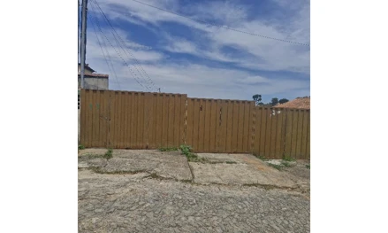 House
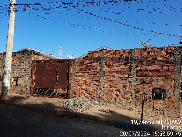 House
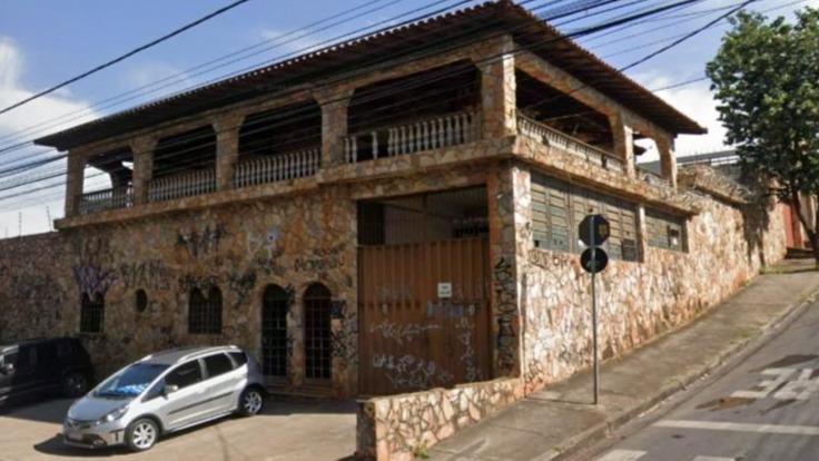 House
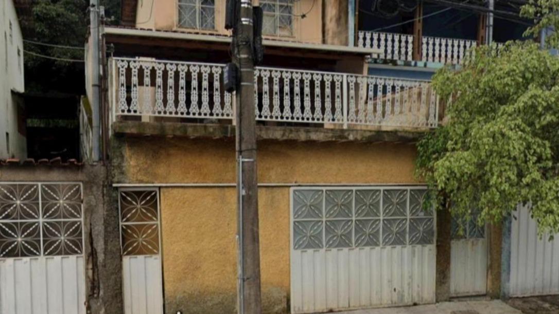 House
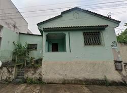 House