Description
Auctioneer's text, in Portuguese.
FAZENDA PALACIOS EM MIRANDOPOLIS/SP 15 HECTARES SOBRE O IMÓVEL 25.778 DO ORI DE MIRANDÓPOLIS/SP:- UM IMÓVEL RURAL, DENOMINADO "FAZENDA PALÁCIOS - GLEBA A¿, COM ÁREA DE 124,5776 HECTARES, LOCALIZADO NA RODOVIA MARECHAL RONDON (SP 300), MUNICÍPIO DE GUARAÇAÍ, COMARCA DE MIRANDÓPOLIS, ESTADO DE SÃO PAULO, COM AS SEGUINTES MEDIDAS E CONFRONTAÇÕES: INICIA-SE A DESCRIÇÃO DESTE IMÓVEL NO VÉRTICE AN5-M-1504, LONGITUDE: -51º09'15,237", LATITUDE: -21º00'35,114" E ALTITUDE: 426,92 M, DESTE SEGUE CONFRONTANDO COM A FAZENDA PALÁCIOS, MATRÍCULA Nº 16.549 DESTA UNIDADE, NO AZIMUTE 143º45' E DISTÂNCIA DE 51,14 M ATÉ O VÉRTICE AN5-M-1503, LONGITUDE: -51º09'14,190", LATITUDE: -21º00'36,455" E ALTITUDE: 426,00 M, DESTE SEGUE NO AZIMUTE 137º28' E DISTÂNCIA DE 52,00 M ATÉ O VÉRTICE AN5-M-1502, LONGITUDE: -51º09'12,973", LATITUDE: -21º00'37,701" E ALTITUDE: 427,35 M, DESTE SEGUE NO AZIMUTE 160º17' E DISTÂNCIA DE 55,55 M ATÉ O VÉRTICE AN5-M-1501, LONGITUDE: -51º09'12,324", LATITUDE: -21º00'39,401" E ALTITUDE: 423,15 M, DESTE SEGUE NO AZIMUTE 171º03' E DISTÂNCIA DE 126,56 M ATÉ O VÉRTICE AN5-M-1500, LONGITUDE: -51º09'11,643", LATITUDE: -21º00'43,466" E ALTITUDE: 422,52 M, DESTE SEGUE NO AZIMUTE 161º12' E DISTÂNCIA DE 158,02 M ATÉ O VÉRTICE AN5-M-1499, LONGITUDE: -51º09'09,881", LATITUDE: -21º00'48,330" E ALTITUDE: 421,16 M, DESTE SEGUE NO AZIMUTE 204º12' E DISTÂNCIA DE 27,68 M ATÉ O VÉRTICE AN5-M-1498, LONGITUDE: -51º09'10,274", LATITUDE: -21º00'49,151" E ALTITUDE: 419,36 M, DESTE SEGUE NO AZIMUTE 129º45' E DISTÂNCIA DE 59,43 M ATÉ O VÉRTICE AN5-M-1497, LONGITUDE: -51º09'08,692", LATITUDE: -21º00'50,387" E ALTITUDE: 419,76 M, DESTE SEGUE NO AZIMUTE 114º19' E DISTÂNCIA DE 81,55 M ATÉ O VÉRTICE AN5-M-1496, LONGITUDE: -51º09'06,119", LATITUDE: -21º00'51,479" E ALTITUDE: 419,90 M, DESTE SEGUE NO AZIMUTE 94º49' E DISTÂNCIA DE 95,06 M ATÉ O VÉRTICE AN5-M-1495, LONGITUDE: -51º09'02,839", LATITUDE: -21º00'51,739" E ALTITUDE: 418,93 M, DESTE SEGUE NO AZIMUTE 147º49' E DISTÂNCIA DE 29,83 M ATÉ O VÉRTICE AN5-M-1494, LONGITUDE: -51º09'02,289", LATITUDE: -21º00'52,560" E ALTITUDE: 418,25 M, DESTE SEGUE NO AZIMUTE 173º44' E DISTÂNCIA DE 84,90 M ATÉ O VÉRTICE AN5-M-1493, LONGITUDE: -51º09'01,968", LATITUDE: -21º00'55,304" E ALTITUDE: 418,20 M, DESTE SEGUE NO AZIMUTE 165º08' E DISTÂNCIA DE 35,51 M ATÉ O VÉRTICE AN5-M-1492, LONGITUDE: -51º09'01,653", LATITUDE: -21º00'56,420" E ALTITUDE: 417,42 M, DESTE SEGUE NO AZIMUTE 151º39' E DISTÂNCIA DE 42,77 M ATÉ O VÉRTICE AN5-M-1491, LONGITUDE: -51º09'00,950", LATITUDE: -21º00'57,644" E ALTITUDE: 417,10 M, DESTE SEGUE NO AZIMUTE 138º22' E DISTÂNCIA DE 88,83 M ATÉ O VÉRTICE AN5-M-1490, LONGITUDE: -51º08'58,907", LATITUDE: -21º00'59,803" E ALTITUDE: 415,36 M, DESTE SEGUE NO AZIMUTE 36º20' E DISTÂNCIA DE 30,12 M ATÉ O VÉRTICE AN5-M-1489, LONGITUDE: -51º08'58,289", LATITUDE: -21º00'59,014" E ALTITUDE: 417,32 M, DESTE SEGUE NO AZIMUTE 110º43' E DISTÂNCIA DE 26,83 M ATÉ O VÉRTICE AN5-M-1488, LONGITUDE: -51º08'57,420", LATITUDE: -21º00'59,323" E ALTITUDE: 421,57 M, DESTE SEGUE CONFRONTANDO COM O SÍTIO TRAVESSA GRANDE, MATRÍCULA Nº 22.359 DESTA UNIDADE, NO AZIMUTE 218º35' E DISTÂNCIA DE 13,38 M ATÉ O VÉRTICE ARM-M-3970, LONGITUDE: -51º08'57,709", LATITUDE: -21º00'59,663" E ALTITUDE: 413,59 M, DESTE SEGUE NO AZIMUTE 218º42' E DISTÂNCIA DE 83,49 M ATÉ O VÉRTICE ARM-P-7561, LONGITUDE: -51º08'59,517", LATITUDE: -21º01'01,781" E ALTITUDE: 408,26 M, DESTE SEGUE NO AZIMUTE 218º45' E DISTÂNCIA DE 14,16 M ATÉ O VÉRTICE ARM-V-1261, LONGITUDE: -51º08'59,824", LATITUDE: -21º 01'02,140" E ALTITUDE: 408,00 M, DESTE SEGUE CONFRONTANDO COM A ESTÂNCIA ALVORADA, MATRÍCULAS Nº 10.030, 10.491, 11.909, 13.804 E 13.805 DESTA UNIDADE, POR UM CÓRREGO SEM DENOMINAÇÃO, NO AZIMUTE 310º31' E DISTÂNCIA DE 140,50 M ATÉ O VÉRTICE A6U-P-0928, LONGITUDE: -51º09'03,523", LATITUDE: -21º00'59,172" E ALTITUDE: 407,57 M, DESTE SEGUE NO AZIMUTE 311º22' E DISTÂNCIA DE 214,77 M ATÉ O VÉRTICE A6U-P-0929, LONGITUDE: -51º09'09,103", LATITUDE: -21º00'54,557" E ALTITUDE: 409,56 M, 300º04' E DISTÂNCIA DE 127,57 M ATÉ O VÉRTICE A6U-P-0930, LONGITUDE: -51º09'12,925", LATITUDE: -21º00'52,478" E ALTITUDE: 410,43 M, DESTE SEGUE NO AZIMUTE 286º18' E DISTÂNCIA DE 103,96 M ATÉ O VÉRTICE A6U-P-0931, LONGITUDE: -51º09'16,380", LATITUDE: -21º00'51,529" E ALTITUDE: 412,10 M, 249º09' E DISTÂNCIA DE 87,04 M ATÉ O VÉRTICE A6U-P-0932, LONGITUDE: -51º09'19,197", LATITUDE: -21º00'52,535" E ALTITUDE: 411,32 M, DESTE SEGUE NO AZIMUTE 260º50' E DISTÂNCIA DE 52,88 M ATÉ O VÉRTICE A6U-P-0933, LONGITUDE: -51º09'21,005", LATITUDE: -21º00'52,809" E ALTITUDE: 411,60 M, 253º15' E DISTÂNCIA DE 64,28 M ATÉ O VÉRTICE A6U-P-0934, LONGITUDE: -51º09'23,136", LATITUDE: -21º00'53,411" E ALTITUDE: 412,36 M, DESTE SEGUE NO AZIMUTE 231º31' E DISTÂNCIA DE 92,68 M ATÉ O VÉRTICE A6U-P-0935, LONGITUDE: -51º09'25,648", LATITUDE: -21º00'55,286" E ALTITUDE: 413,23 M, 231º42' E DISTÂNCIA DE 78,62 M ATÉ O VÉRTICE A6U-M-0650, LONGITUDE: -51º09'27,785", LATITUDE: -21º00'56,870" E ALTITUDE: 416,55 M, DESTE SEGUE CONFRONTANDO COM A FAZENDA PALÁCIOS - GLEBA A, MATRÍCULA 25.779 DESTA UNIDADE, NO AZIMUTE 280º04' E DISTÂNCIA DE 188,01 M ATÉ O VÉRTICE A6U-M-0653, LONGITUDE: -51º09'34,195", LATITUDE: -21º00'55,801" E ALTITUDE: 419,33 M, DESTE SEGUE NO AZIMUTE 277º28' E DISTÂNCIA DE 130,95 M ATÉ O VÉRTICE A6U-M-0654, LONGITUDE: -51º09'38,690", LATITUDE: -21º00'55,247" E ALTITUDE: 424,28 M, DESTE SEGUE NO AZIMUTE 303º29' E DISTÂNCIA DE 143,07 M ATÉ O VÉRTICE A6U-M-0655, LONGITUDE: -51º09'42,822", LATITUDE: -21º00'52,681" E ALTITUDE: 424,85 M, DESTE SEGUE NO AZIMUTE 304º08' E DISTÂNCIA DE 89,55 M ATÉ O VÉRTICE A6U-M-0656, LONGITUDE: -51º09'45,389", LATITUDE: -21º00'51,046" E ALTITUDE: 421,88 M, DESTE SEGUE NO AZIMUTE 293º34' E DISTÂNCIA DE 62,63 M ATÉ O VÉRTICE A6U-M-0657, LONGITUDE: -51º09'47,376", LATITUDE: -21º00'50,232" E ALTITUDE: 422,81 M, DESTE SEGUE NO AZIMUTE 195º54' E DISTÂNCIA DE 439,04 M ATÉ O VÉRTICE A6U-M-0658, LONGITUDE: -51º09'51,544", LATITUDE: -21º01'03,960" E ALTITUDE: 441,95 M, DESTE SEGUE NO AZIMUTE 112º54' E DISTÂNCIA DE 77,22 M ATÉ O VÉRTICE A6U-M-0659, LONGITUDE: -51º09'49,081", LATITUDE: -21º01'04,937" E ALTITUDE: 436,57 M, DESTE SEGUE NO AZIMUTE 239º34' E DISTÂNCIA DE 431,11 M ATÉ O VÉRTICE A6U-M-0660, LONGITUDE: -51º10'01,954", LATITUDE: -21º01'12,034" E ALTITUDE: 442,76 M, DESTE SEGUE CONFRONTANDO COM A RODOVIA MARECHAL RONDON/SP 300 (PISTA OESTE) NO AZIMUTE 303º53' E DISTÂNCIA DE 1.092,19 M ATÉ O VÉRTICE BAZE-M-302, LONGITUDE: -51º10'33,347", LATITUDE: -21º00'52,232" E ALTITUDE: 475,49 M, DESTE SEGUE CONFRONTANDO COM A GRANJA NISHIMURA, MATRÍCULA Nº 4238 DESTA UNIDADE, NO AZIMUTE 0º58' E DISTÂNCIA DE 13,60 M ATÉ O VÉRTICE BAZE-P-905, LONGITUDE: -51º10'33,339", LATITUDE: -21º00'51,790" E ALTITUDE: 475,50 M, DESTE SEGUE NO AZIMUTE 0º28' E DISTÂNCIA DE 45,03 M ATÉ O VÉRTICE BAZE-P-804, LONGITUDE: -51º10'33,326", LATITUDE: -21º00'50,326" E ALTITUDE: 473,71 M, DESTE SEGUE NO AZIMUTE 0º44' E DISTÂNCIA DE 22,42 M ATÉ O VÉRTICE BAZE-P-803, LONGITUDE: -51º10'33,316", LATITUDE: -21º00'49,597" E ALTITUDE: 472,73 M, DESTE SEGUE AZIMUTE 359º10' E DISTÂNCIA DE 12,00 M ATÉ O VÉRTICE BAZE-M-303, LONGITUDE: -51º10'33,322", LATITUDE: -21º00'49,207" E ALTITUDE: 472,35 M, DESTE SEGUE NO AZIMUTE 20º50' E DISTÂNCIA DE 9,74 M ATÉ O VÉRTICE BAZE-P-802, LONGITUDE: -51º10'33,202", LATITUDE: -21º00'48,911" E ALTITUDE: 471,55 M, DESTE SEGUE NO AZIMUTE 22º40' E DISTÂNCIA DE 9,07 M ATÉ O VÉRTICE BAZE-P-801, LONGITUDE: -51º10'33,081", LATITUDE: -21º00'48,639" E ALTITUDE: 471,09 M, DESTE SEGUE NO AZIMUTE 29º20' E DISTÂNCIA DE 11,08 M ATÉ O VÉRTICE BAZE-P-800, LONGITUDE: -51º10'32,893", LATITUDE: -21º00'48,325" E ALTITUDE: 470,55 M, DESTE SEGUE NO AZIMUTE 30º36' E DISTÂNCIA DE 30,63 M ATÉ O VÉRTICE BAZE-P-799, LONGITUDE: -51º10'32,353", LATITUDE: -21º00'47,468" E ALTITUDE: 468,76 M, DESTE SEGUE NO AZIMUTE 31º54' E DISTÂNCIA DE 21,31 M ATÉ O VÉRTICE BAZE-P-798, LONGITUDE: -51º10'31,963", LATITUDE: -21º00'46,880" E ALTITUDE: 467,66 M, DESTE SEGUE NO AZIMUTE 32º41' E DISTÂNCIA DE 25,77 M ATÉ O VÉRTICE BAZE-P-797, LONGITUDE: -51º10'31,481", LATITUDE: -21º00'46,175" E ALTITUDE: 466,24 M, DESTE SEGUE NO AZIMUTE 32º29' E DISTÂNCIA DE 23,34 M ATÉ O VÉRTICE BAZE-P-796, LONGITUDE: -51º10'31,047", LATITUDE: -21º00'45,535" E ALTITUDE: 464,76 M, DESTE SEGUE NO AZIMUTE 32º58' E DISTÂNCIA DE 26,21 M ATÉ O VÉRTICE BAZE-P-795, LONGITUDE: -51º10'30,553", LATITUDE: -21º00'44,820" E ALTITUDE: 463,81 M, DESTE SEGUE NO AZIMUTE 33º57' E DISTÂNCIA DE 30,96 M ATÉ O VÉRTICE BAZE-P-794, LONGITUDE: -51º10'29,954", LATITUDE: -21º00'43,985" E ALTITUDE: 463,17 M, DESTE SEGUE NO AZIMUTE 38º21' E DISTÂNCIA DE 50,25 M ATÉ O VÉRTICE BAZE-P-793, LONGITUDE: -51º10'28,874", LATITUDE: -21º00'42,704" E ALTITUDE: 463,11 M, DESTE SEGUE NO AZIMUTE 39º02' E DISTÂNCIA DE 56,86 M ATÉ O VÉRTICE BAZE-P-792, LONGITUDE: -51º10'27,634", LATITUDE: -21º00'41,268" E ALTITUDE: 464,12 M, DESTE SEGUE NO AZIMUTE 44º15' E DISTÂNCIA DE 36,29 M ATÉ O VÉRTICE BAZE-P-791, LONGITUDE: -51º10'26,757", LATITUDE: -21º00'40,423" E ALTITUDE: 464,24 M, DESTE SEGUE NO AZIMUTE 93º28' E DISTÂNCIA DE 26,94 M ATÉ O VÉRTICE BAZE-P-790, LONGITUDE: -51º10'25,826", LATITUDE: -21º00'40,476" E ALTITUDE: 462,84 M, DESTE SEGUE NO AZIMUTE 93º01' E DISTÂNCIA DE 33,20 M ATÉ O VÉRTICE BAZE-P-789, LONGITUDE: -51º10'24,678", LATITUDE: -21º00'40,533" E ALTITUDE: 460,66 M, DESTE SEGUE NO AZIMUTE 92º42' E DISTÂNCIA DE 31,80 M ATÉ O VÉRTICE BAZE-P-788, LONGITUDE: -51º10'23,578", LATITUDE: -21º00'40,582" E ALTITUDE: 458,65 M, DESTE SEGUE NO AZIMUTE 91º56' E DISTÂNCIA DE 41,76 M ATÉ O VÉRTICE BAZE-P-787, LONGITUDE: -51º10'22,133", LATITUDE: -21º00'40,628" E ALTITUDE: 456,30 M, DESTE SEGUE NO AZIMUTE 91º01' E DISTÂNCIA DE 32,67 M ATÉ O VÉRTICE BAZE-P-786, LONGITUDE: -51º10'21,002", LATITUDE: -21º00'40,647" E ALTITUDE: 454,96 M, DESTE SEGUE NO AZIMUTE 91º29' E DISTÂNCIA DE 49,61 M ATÉ O VÉRTIC 1ª VARA CÍVEL DE MIRANDÓPOLIS/SP (1736-2016) 1001586-27.2016.8.26.0024

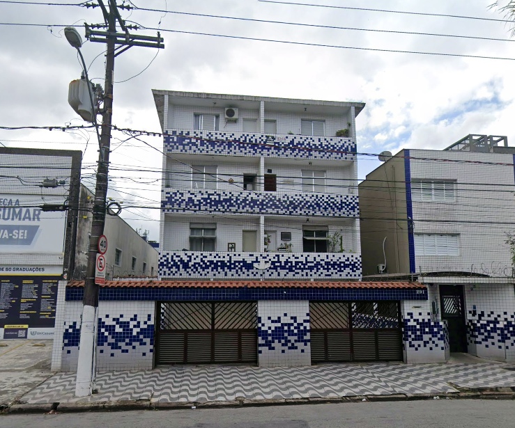 Apartment
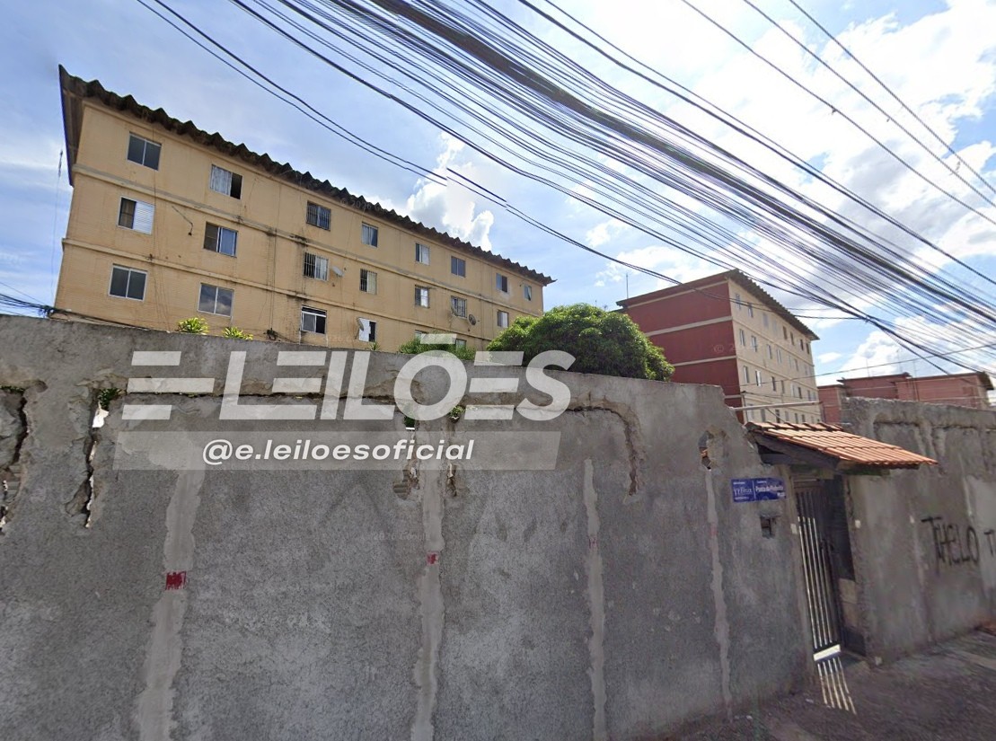 Apartment
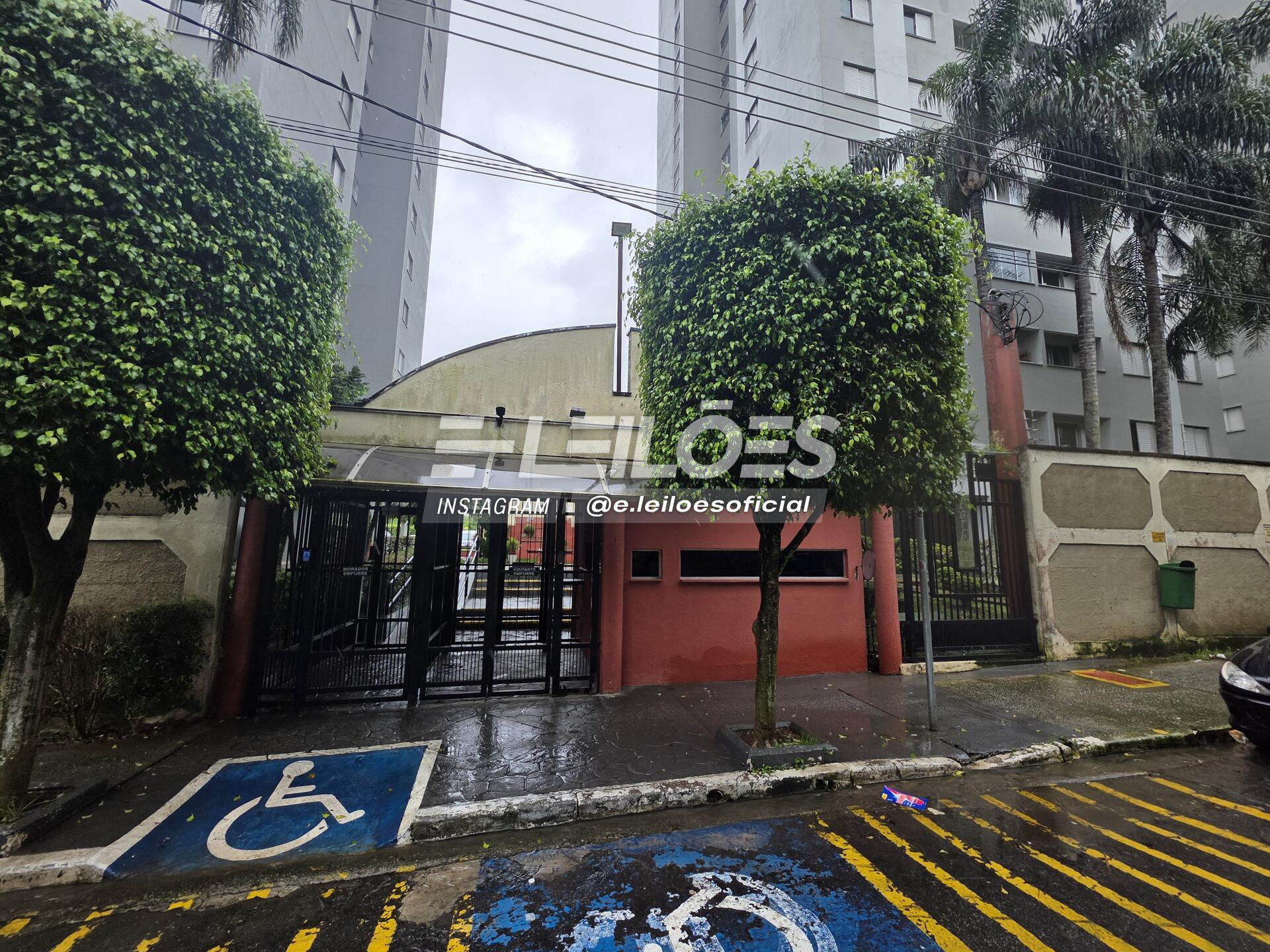 Apartment
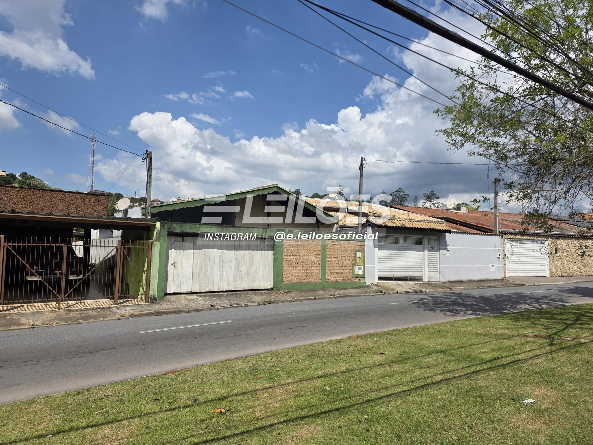 House
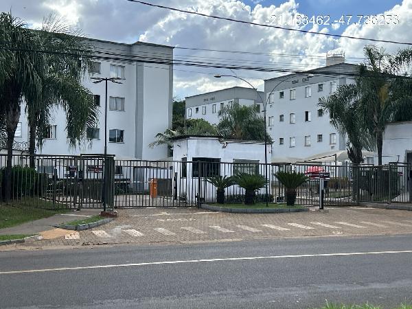 Apartment
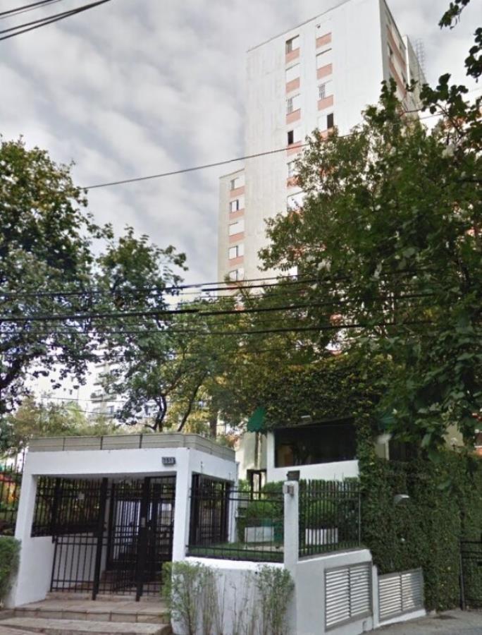 Apartment
 Apartment
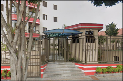 Apartment